Site Sector Analysis

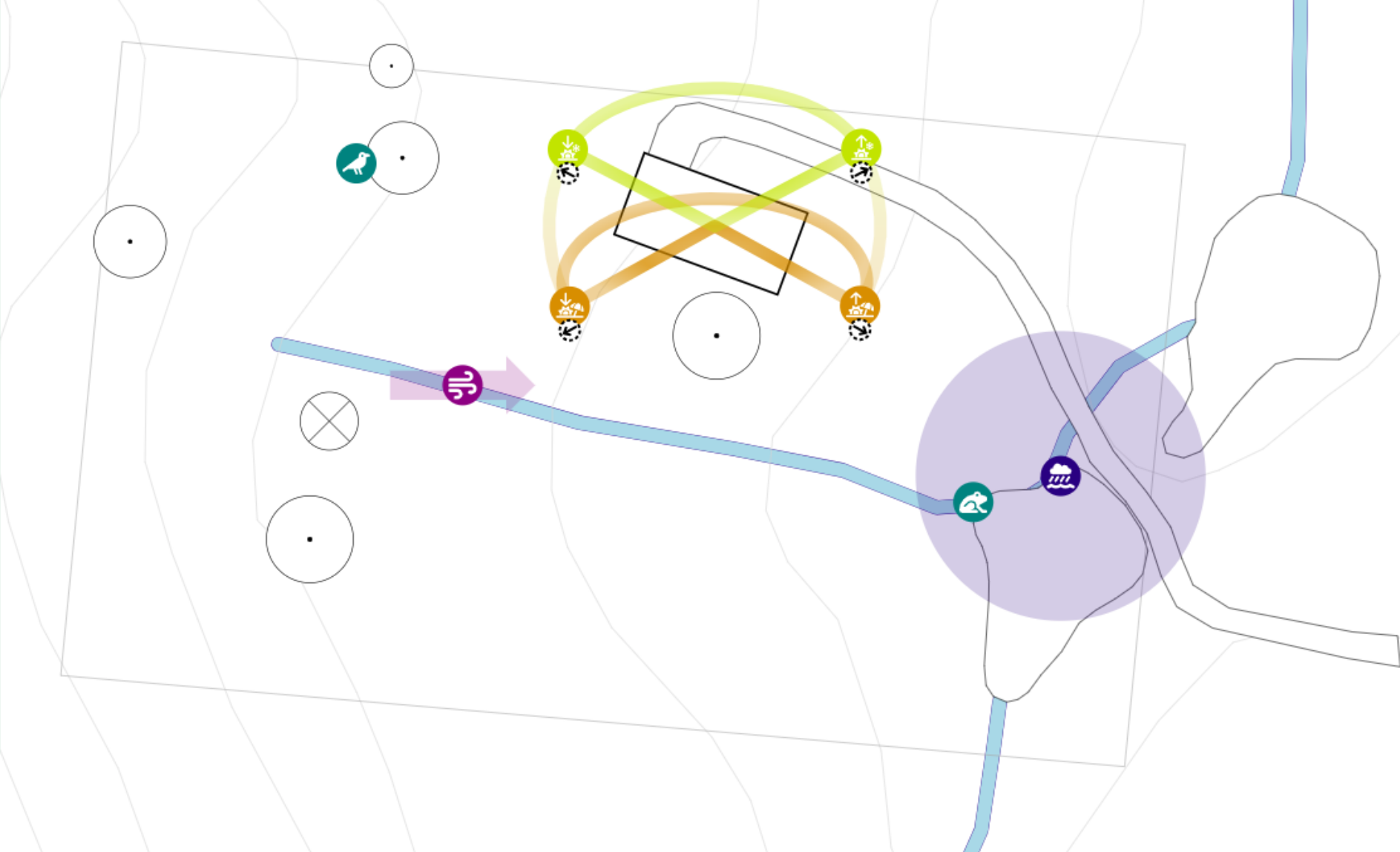
In site sector analysis, we note down observed features of the land. We use Markers and Sun Tool to do so.
Markers

We use markers to highlight interesting features we observed on the property.
You can pick from a library of symbols and adjust the shape to a large circle, arrow or double arrow.
Changing a colour of the marker allows you to organise and colour code your site sector analysis. For this purpose, we also created a few categories to represent features observed as negative, neutral, and positive.
Spot Markers
We can represent a spot on the land with an icon.
EXAMPLE
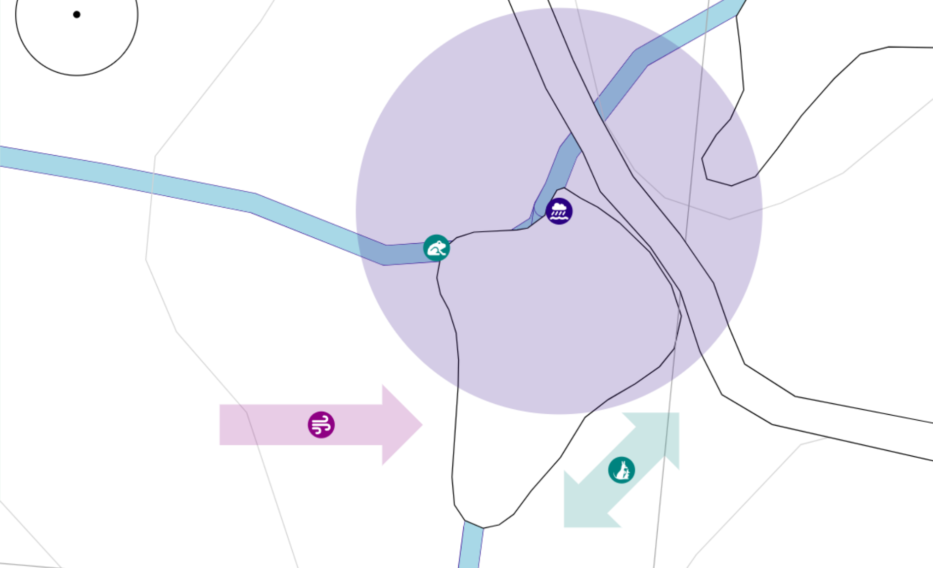
An example of using an icon is to mark out a favourite spot of frogs because they typically find their home centralised near ponds.
If you think the location observed is wider, consider using Area Markers.
Area Markers
When observing that a feature of our site affects a large area, we can use the appropriate attribute to set it as such in our site sector analysis.
You can also change the dimension of the area in its attributes.
Directional Markers
In the case of a directional marker, a large arrow accompanies the icon.
EXAMPLE
An example of a directional marker is one documenting prevailing winds.
You can turn a Spot Marker into a directional marker by changing its attribute.
You can change the width and length of the arrow in the marker's attributes.
Corridor Markers
A double arrow represents a corridor in our site sector analysis.
EXAMPLE
An example of a corridor might be a passage that wildlife moves through.
You can turn a Spot Marker into a corridor marker by changing its attribute.
You can change the width and length of the arrow in the marker's attributes.
Sun Tool

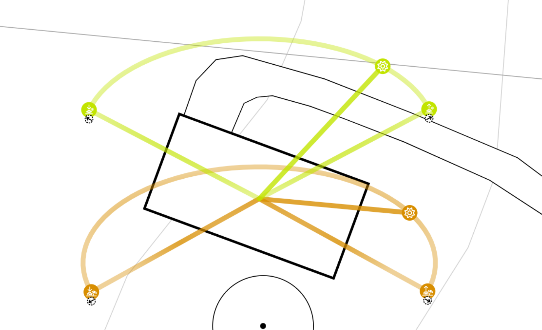
Sun Tool shows the sun's movement in summer and winter. Sun Tool is a reference when designing a shelter from the sun or planning the planting position.
You can move the visualised pathway of the sun around your design and even resize it to see how it will affect your design.
When Base Map Wizard imports data, it adds one Sun Tool to your project based on the provided address. For privacy reasons, we do not store it. Sun Tool uses an approximate location by always rounding the latitude and longitude.
You can create additional Sun Tools around your block and set their location.
Sun Path for Time of Day and Month
When Sun Tool has the correct latitude, longitude and timezone, you can visualise the sun's path for a specific month and time of day by changing its attributes.